Sunday, January 22, 2012

A stroll through Bhaktapur


My destination this week was the smallest of the three Kathmandu Valley towns, Bhaktapur, the city(pur) of devotees (Bhakta) – also called as Bhatgaon or BhadgaonKhoprinKhvapa or Khopah. It might be smallest but is certainly the best preserved and the oldest of the three cities. Traditionally, this town was amongst the main towns straddled on the trade route between Tibet and India. However, changes in political regime, construction of alternate motorable routes most notably – the opening of the trade route via Kalimpong by the British meant that the historical importance of those towns along the traditional route waned- one of those towns was Bhaktapur. Perhaps that was a good thing in hindsight because it may have helped preserve this unique place, its heritage and culture.


One of the best things about Bhaktapur is that there is little evidence of the ugly urban sprawl that characterizes the other two historical towns of Patan and Kathmandu. Unfortunately, sprawl is everywhere in the valley, so even though the core of Bhaktapur is reprieved of that ugliness, it is literally knocking at its doors because that's all you see before you get there - scattered glimpses of concrete randomness that has slowly replaced the surrounding agricultural lands. 


You must rewind back to the 70s to understand how change has occurred and also been deterred at the same time. The historicity of this wonderful place owes its preservation as well the continuity of certain traditional arts and craft practices to the Bhaktapur Development Project, a bi-lateral co-corporation between the Govt. of Nepal and the Govt. of the Federal Republic of Germany from 1974-1986. The project executed in three phases had a simple objective i.e., 'Improving the living conditions of the population of Bhaktapur' which it most certainly did.


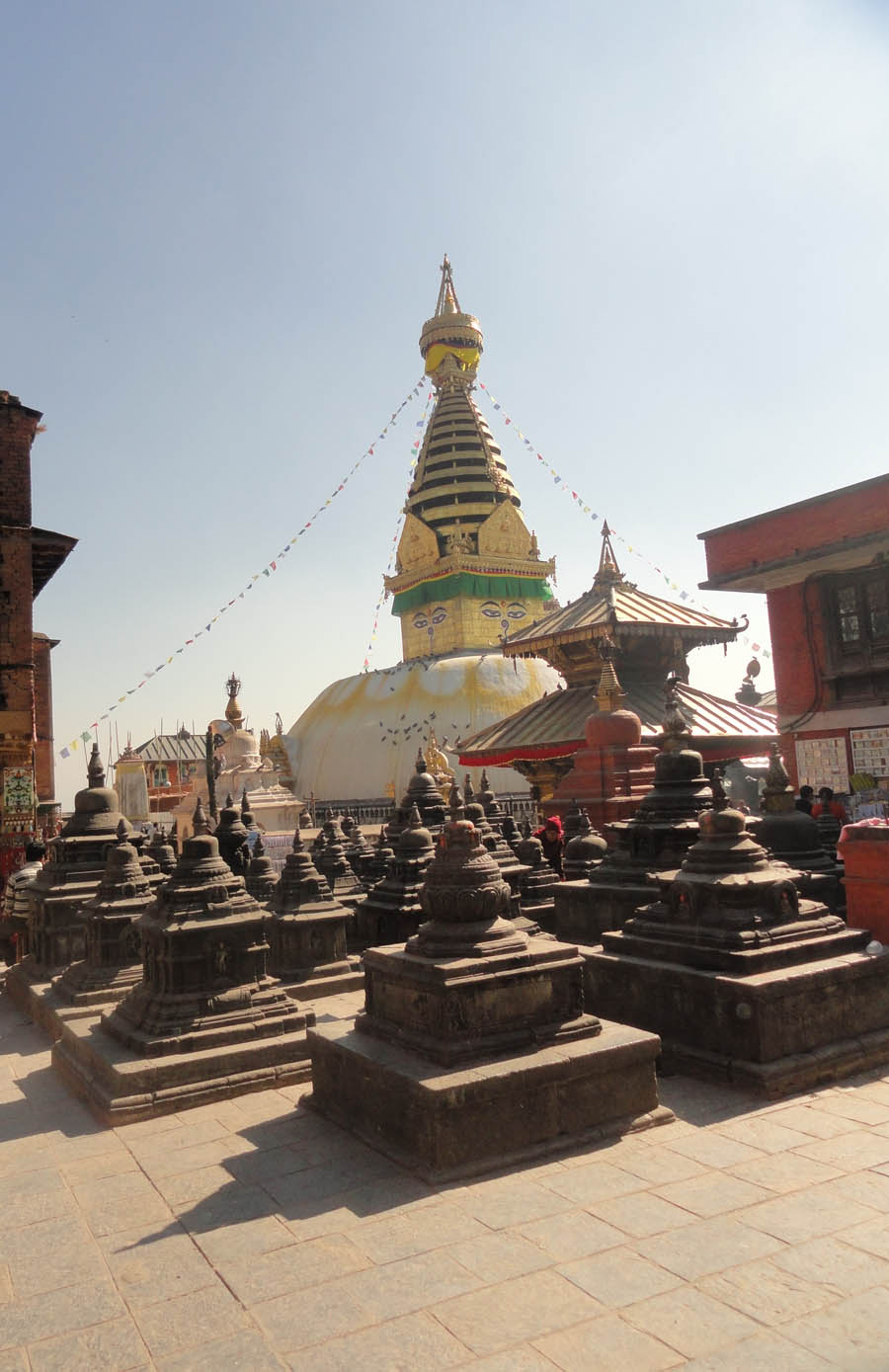
Once the capital of the country from 12-14th century, Bhaktapur has been a UNESCO World Heritage Site since 1979.  You drive off the Arniko Highway towards the narrow streets and ultimately enter the city through one of the last remaining city gates, the uniqueness of this traditional urban-space becomes apparent. Once inside city limits, you travel through brick paved narrow lanes and brick faced buildings built following the traditional Newari architectural style almost crowd you on either side providing glimpses of what’s ahead at the heart of Nepali art and architecture.
The Nyatapola Temple, Taumadhi Tole, Bhaktapur
Driving through those narrow bricked paved streets - you have absolutely no clue what to expect, until it hits you - visually and aesthetically. The first glimpse of the five-tiered Nyatapola temple triggers your curiosity and by the time you get to the center of the square in front of the temple, you can be excused for getting overawed. And the best is yet to come! One of only two five tiered temples in Nepal, the Nyatapola was erected by Nepali King Bhupatindra Malla during a 5 month period from late 1701 into 1702. It enshrines Siddha Laxmi, the Hindu goddess of prosperity. Nyatapola is designed with five stepped plinths of progressively and proportionately reducing widths lined with pairs of guardians arranged in order of increasing power. They are wrestlers, elephants, lions, griffons and lastly two minor deities Simhini and VyanginiSpringing from a base square measuring 22.5 meters, the plinth which can be understood as a stepped pyramid rises to a height of 9 meters. From the plinth level, the main body of the temple rises to a further height of 22.5 meters to the top of its pinnacle. 


The square in front of the temple i.e., Taumadhi Tole, has an additional temple 'Kasi Bishwanath' dedicated to 'Bhairava' (circa 1717 AD)  which defines the eastern edge of the square and is an integral part of everyday life of the people of Bhaktapur since traditional festivals and jatras still take place here as a continuum of the age old traditions.


If you would like to stop for a quick bite or just a cup of coffee, there is a traditional rest-house which has been converted to a cafe at the south-west corner of this square. Another place for good coffee is the small outlet of Himalayan Jawa on the stretch of road between this square and the Tachapal Tole containing the famous Pujari Math
A stone temple with the 55 windowed palace at the back
East of the main Palace court
Square in front of the palace
Taumadhi Tole (square) in front of the Nyatapola Temple
Dattatreya Chowk (square) with the Dattatreya Temple at the back
The contrast between this square – which is more public in nature and the square in front of the Royal Palace is fairly evident. This square comes alive with people, the music and the noise- clatter of everyday that at times seems to compete with the massive temple itself. On the contrary, the square in front of the palace is quiet, calm and almost feels ordered where despite the unassuming nature – in terms of scale not architectural magnificence, the palace takes center stage and not the people.

National Art Gallery, Wood Carving Museum, Pujari Math - Bhaktapur
A typical stone paved alley
I really wanted to see the famous ‘Peacock window’ so the next stop was the Pujari Math which houses the National Art Gallery - Wood Carving Museum. Located about a five-ten minutes walk east of the Nyatapola temple, you arrive at another square - Tachapal Tole which is also littered with ancient monuments, a sunken water spout, rest-houses, commemorative stone pillars, the popular Dattatreya Temple and the famous Pujari Math. Since I did not have so much time, museum gazing had to be left for another day but I did find my way to the exquisite ‘Peacock window’. And if you need a bite, there is a Peacock Cafe overlooking the square, go figure!
Peacock Window, Pujari Math, Bhaktapur

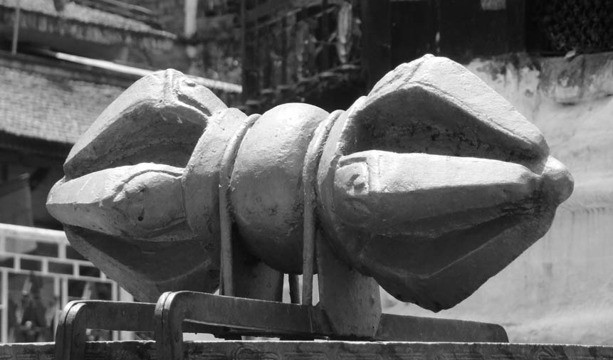
The last part of this short tour was literally a mad-dash to the palace precinct and although I wanted to spend more time looking at the carvings, details and study some stone sculptures, look through the museum there - I didn't have much time. I did take some pictures of the 55 window palace, the square in front and the two stone temples, which is rather unique in Kathmandu. One of those stone temples built around the late seventeenth century is dedicated to 'Batsala Durga' but happens to be modeled on the Krsna Temple of Patan. 

The oldest surving section of this palace 'Mul Chowk' is believed to date back to 1342 AD. The palace itself has undergone a lot of changes and was one of the worst hit during the earthquake of 1934 AD. A lot of priceless art in the form of sculptures, murals, carved struts of historical value were lost not just due to the earthquake but also due to vandalism and the nature of reconstruction work following the earthquake. Some monuments have also been lost, the octagonal sattal was recently re-constructed using old photographs. 

I cannot close this post without the mention of the Golden Gate added during the reign of Ranjit Malla 1753/4 AD. The gilt metal, moldings and sculptures are beautiful. 
The Golden Gate, Bhaktapur Palace

Monday, January 16, 2012

Stupas of Kathmandu IV: Cha-bahil 'Dharmadeva' Stupa

Sketch showing the location of the major stupas of the Kathmandu Valley.
Cha-bahil stupa has been highlighted
The stupa plan, grey represents the Lichhavi votive chaityas
Believed to have been established by King Dharmadeva (father of King Mandeva - Lichhavi King) around the middle of the 5th century, this is also known as Dharmadeva stupa and also as Charumati Chaitya by some - the reference being to Charumati, the daughter of the Mauryan Emperor Asoka. Originally, this stupa is believed to have stood at the center of the courtyard of Manju Vihara(around 5th century). Although the vihara in its entirity no longer exists, the main shrine exists even today and can be found towards the south-west of the stupa. During the course of excavations and a series of renovations to the main stupa, several inscriptions dating to the Lichhavi period and a few important stone sculptures dating to the 6th-8th centuries have been recovered from this site. During renovation work carried out in February 16, 2003 – lots of antique statues, coins, small stupas, old bricks with inscription dating back to the Asokan period were found within the structure, which were again placed back in their original position after the reconstruction work was completed. It was widely reported that, the newly discovered brick (35.5 X 23 X 7 cm) was inscribed in Brahmi Lipi (script) similar to the inscription on the Asokan pillar at Lumbini. 

The stupa today stands alongside the stretch of ring-road connecting the busy traffic junctions of Gaushala to the south and Cha-bahil chowk to the north. Architecturally, the stupa rests on a one meter tall hemispherical drum (Hiranyagarbha); there is a hermica where eyes are painted on all four sides similar to other stupas in the valley. On the four opposite sides of the hemisphere, four aadibuddhas sit and the fifth one is represented by the eyes on the hermika. At the top, there are 13 steps (square unlike the circular rings of Swayambhu stupa) which are the 13 worlds of Buddhism to Nirvana. The present shape of the dome and the niches may have been designed in the 18th century, while its finial, with its thirteen tiers; the amalaka ring and the protruding central pillar may have assumed its shape during the 19th century. Comparatively, this stupa appears to be much simpler than Swayambhu. 

Tuesday, January 10, 2012

Stupas of Kathmandu III: Boudhanath

The third stupa in this series, the Boudhanath Stupa is located at the centre of Bouddha market area which is about five km. north east of Kathmandu and is also part of the ancient trade route to Tibet. Generally considered to be the biggest stupa in the country, it's also known as Khasti Chaittya, Khasau Chaittya and Khasa Chaitya. There are many legends most notably Tibetan that of a little girl Kang-ma as well as others that mention how the stupa was established by the Lichhavi king Mandeva Ist (464-505 AD). Since this is close to the Cha-bahil stupa which is dotted with Lichhavi votive chaityas, this claim cannot be ruled out entirely. 
Sketch showing the location of the major stupas of the Kathmandu Valley.
Boudhanath Stupa has been highlighted.

Bouddhanath Stupa - 2007
Picture by Tony Hagen - 1960
Boudhanath Stupa (Southern view) before 1960
An Aerial image of the Stupa and its surrounding area
(Date not known) Photo Credit to uploader, Source Google
Renovation - 1919/ 1920
The stupa was forgotten for a long time during the dark age in the history of Nepal like other monasteries lying around Cha-bahil-Sankhu link area.It was only after the visit of the Tibetan sage and bridge builder, Tong tang Gulepo in the late 14th – 15th century that the stupa then covered with weed came back to light.Guru Padma Sambav, tantric master from Drangso in Tibetan province of Tsang recognized as a Tulku-incarnation, excavated the big stupa around 15-16th century.Thus, the stupa became famous with Tibetans and they started making contributions to it. It was during the period of Sivasimha Malla (1587-1617) – Tibetans were appointed as the sextons of Bouddhanath in which time, a new finial was donated to the stupa. Reign of Pratap Malla, Rangrik Repa undertook work of restoration of stupaThus the actual architecture may date back to the Malla period or even pre-date it.The medieval architecture can still be seen in Daniel Wright’s sketches from his book ‘History of Nepal’ first published in 1877.  

Sketch by Daniel Wright
Stupa showing the twenty cornered plan
This development of Bouddhanath stupa that started in the Malla period with the appointment of a Tibetan resident seems to have continued in the Shah period too and there have been additions in 1818-1819, 1821, 1859 respectively. An image of the stupa in 1850-1860 can be observed from the sketches of H.A. Oldfield from his book – 'Sketches from Nipal'.

Only the recent images and sketches are mine. 
Sketch by H.A. Oldfield
Updated on December 2016

The Bouddhanath Stupa was damaged by the April 2015 earthquake. And as of November 2016 it was the first of the monuments to be successfully restored.

Bouddhanath Stupa damaged after the April 2015 earthquake
(Photo Credit @Robbyen)

Reconstruction work underway
(Photo Credit @Robbyen)

More pictures of reconstruction
(Photo Credit @Robbyen)

Photo taken on Oct. 2016 Credit @Robbyen

Construction of the Hermika
Photo taken on Oct. 2016 Credit @Robbyen

View of Stupa after reconstruction (Damaged in April 2015 earthquake)
Photo taken on Nov. 2016 Credit @Robbyen


Monday, January 9, 2012

Stupas of Kathmandu II: Kathesimbhu

This one located deep within the winding narrow lanes of the historical core of Kathmandu is also known as mini-Swayambhu or simply Kathesimbhu. It is a beautiful stupa both in its surrounding and for the serenity it offers in the middle of this chaotic urban fabric - a small reprieve does seem to go a long way. Architecturally, it is said to be a miniature replica of the bigger Swayambhu Stupa built around the sixteenth century for those people whose age or infirmity precluded them from climbing the hill to the bigger Stupa.

Plan of the Stupa complex

Sketch of the stupa

Kathesimbhu Stupa


Sunday, January 8, 2012

Stupas of Kathmandu I: Swayambhu

I love looking at old city maps, nothing like the detailed and often hand-crafted(note not drafted!) cartographic masterpieces. They say so much about a place than words ever will. Unfortunately, not all places on earth have that luxury of documentation. I tried looking up maps for Kathmandu to study how the city has evolved through its history to its present state but alas! I could only go as far as 1960 but not further.  I have been trying to find maps, pictures of the city around the 1930s but haven't got my hands on those yet. So the next best thing is to look for old sketches (travelogues mostly) or accounts of Chinese travelers but that often lacks images, so its pictures and more pictures as the only source of authentic documentation of change. Since the most logical places to look for is pictures of monuments and public places- I'm going to begin this series with the Stupas of Kathmandu Valley - note that the archived documentation of these monuments goes back to the 11th century in some cases. To get this series off the floor, I'm starting with Swayambhu Stupa. Some of the recent pictures are mine but most of the older ones, I do not own them. These images are interesting because they give a fair picture of the urban expansion Kathmandu Valley has experienced within the last 50 years. If you have images you would like to contribute to this series, do contact me, I will gladly put up images(with due credit).

Location of Swayambhu Stupa (Courtesy Google Maps)

As a first, I'm putting up an old sketch by Daniel Wright.

Drawing by Daniel Wright - Date n/a

Swayambhu Stupa - 1920

Swayambhu Stupa - 1920

Swayambhu Stupa - 2007

Swayambhu Stupa - 2012

Swayambhu Stupa - 1960
The view of the valley (east) from Swayambhu - 2012

Base of  Swayambhu Stupa, north - 2007

At the base of the main flight of steps, east - 2012

Stupa on top - 2012

Looking back down towards the steps - 2012

Be prepared to see monkeys!...lots of monkeys infact

Southern side - 2012

View of the harmika and the pinacle - 2012

Prayer wheels around the base of the stupa

Maitreya Buddha circa 5th century, nw corner

The old and new - side by side

Smaller Chaityas on the main flight of steps, east - 2012

You can get your name sculpted on a rock


About the Stupa:


Sketch showing the location of major Stupas within the Kathmandu Valley.
Swayambhu Stupa has been highlighted.
Plan of the complex with main Stupa at center

Swayambhu 
plan showing the niches
housing the Tathgathas and their respective Shaktis

Perched on top of a hill, Swayambhu which means - self manifested is one of the oldest power spots within the valley. It is believed to have existed even when the valley was a lake (neolithic period). There are numerous flight of steps that lead you to the top but nothing beats the experience of walking through the front (east) flight of stone steps to see the stupa emerge on top. There is a parking lot half-way to the top at the western side of the hill, but you will still have to walk the rest of the way to the top albeit on steps which are fairly comfortable to walk (unlike the steps on the eastern side).

The white washed stupa is some 20 meters in diameter and supports a square gilded Harmika and a pinnacle of 13 gilt rings that culminate in a parasol. The 13 rings represent the 13 levels of perfection – the steps to attain enlightenment or nirvana. The five transcendent Buddhas, the Tathagatas occupy niches at the cardinal directions around the dome. On four cardinal directions, there are four shrines, not exactly facing E, W, N, S but deviating by a certain angle. The west shrine is the key shrine of Swayambhu (Aamitabh). There are also shrines in four corner directions, occupied buy the consorts (taras). The shrines have been added due course of time. The oldest ones are the four aadi Buddhas’ shrines on four cardinal directions. Each niche is a gilded temple in itself, reminiscent of the ceremonial gateways which gave access to the circumambulatory paths around stupas found in ancient India. The hemisphere of Swayambhu has a flattened area on top. There is a small drummed base (not much high). There is hermika with painted eyed and a toran on all four sides. Towards the east, on top of the flight of steps, there is a Bajra on a Dharmadhatu Mandala in front of Swayambhu made by Pratap Malla.

Updated on November 25, 2016

Although the main Stupa escaped the devastating twin quakes of April-May 2015 with minimal damage, the surrounding temples and structures weren't so lucky. Anantapur Temple was damaged to the point where it had to be brought down to the first level before repairs could happen. The monastery to the SW was damaged, as well as the structure west of the Harati Temple. The bhajan mandap in front of the stupa to its East next to the main staircase was also heavily damaged. The temple to the North of the main stupa has been closed off, its windows closed off with ply wood and sheer cracks adorn the building facade.

The viewing platforms to the SE were damaged extensively as as of November 2016 closed and cordoned off indefinitely.

View of mid level landing at the parking side (West stairs) 2016

Building to South, under repairs 2016

Foundation strengthening  (Nov. 2016)
Repair works underway (Dec. 4, 2016)

Metal channels to strengthen building (Nov. 2016)
Channels prepared to be put in place (Dec. 4, 2016)
Brick work around the metal C section
(Jan. 2017)


Fallen monuments Anantapur Temple (East) 2016

Anantapur Temple 2016

Damaged Temple front 2016

Awaiting reconstruction 2016


Repair works to a portion of the Eastern steps 2016


Looking up from the last leg of the East steps 2016

Tourism amidst the ruins 2016

Panoramic view of SW Kathmandu as seen from Swayambhu 2016

Damaged Bhajan Mandap (East) 2016


Temple to the North of the Stupa (NW staircase)
Structure was damaged in the April 2015 earthquake
(Nov. 2016)


Monastery to the West of the Stupa damaged
by the April 2015 earthquake (Nov. 2016)
SW Steps (Dec. 2016)

Chautari at SW steps (Dec. 2016)

Top steps on NW (Dec. 2016)

Top steps on SW (Dec. 2016)